RICS surveyors favour drones for a multitude of reasons, primarily due to the numerous benefits that drone technology offers in enhancing the efficiency, accuracy, and safety of property inspections. Some key advantages that make drones a preferred tool for RICS surveyors include:
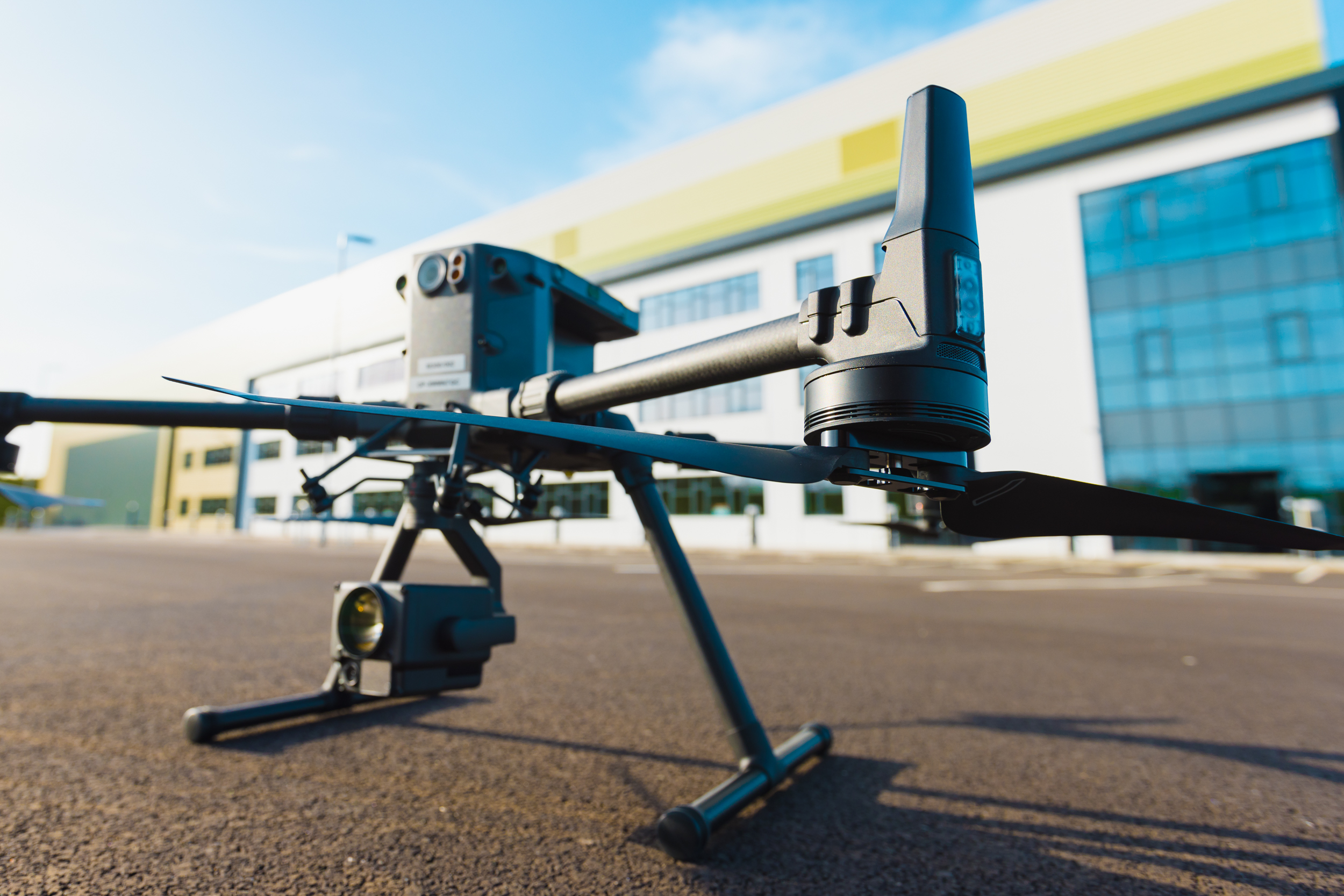
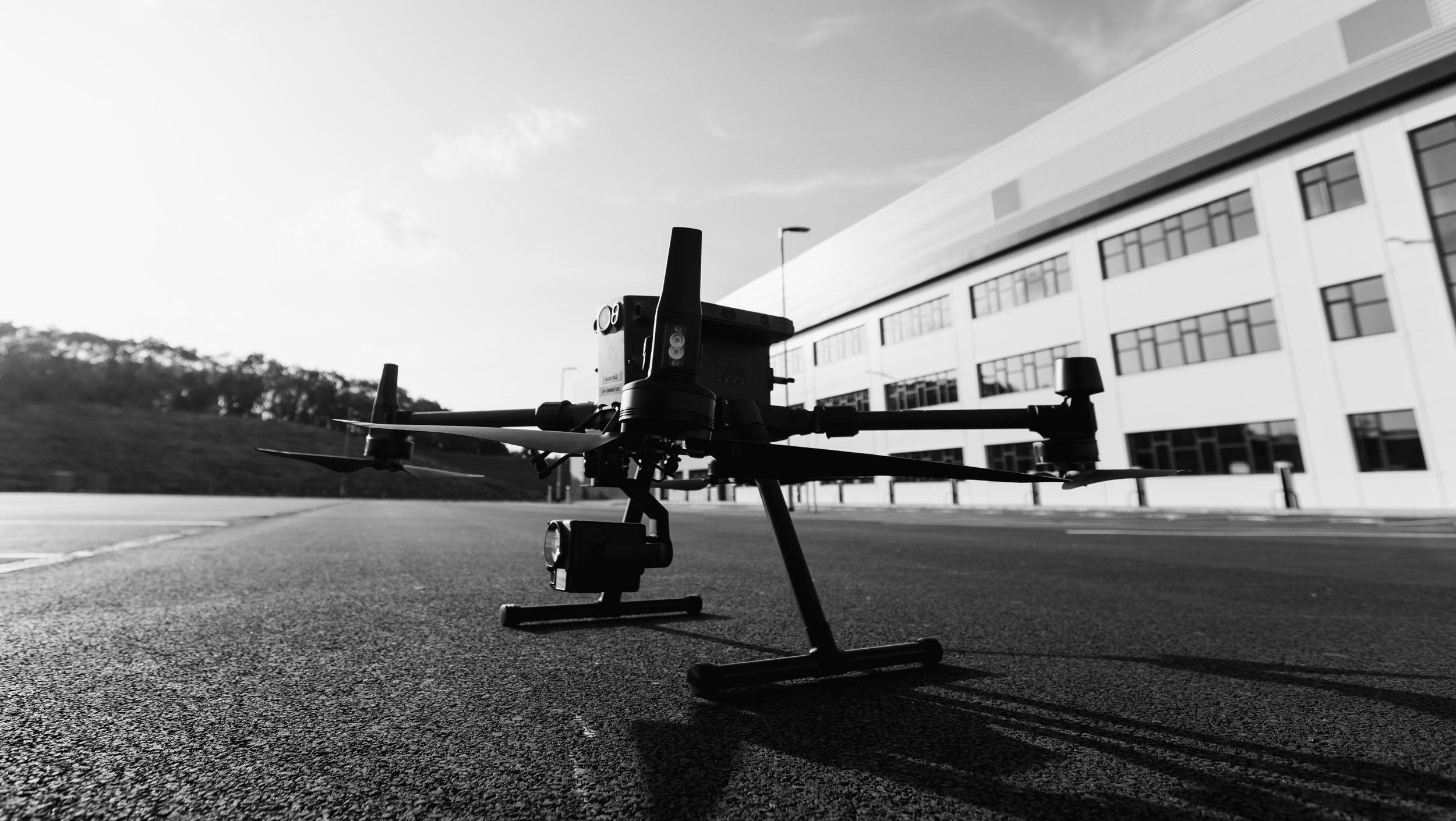
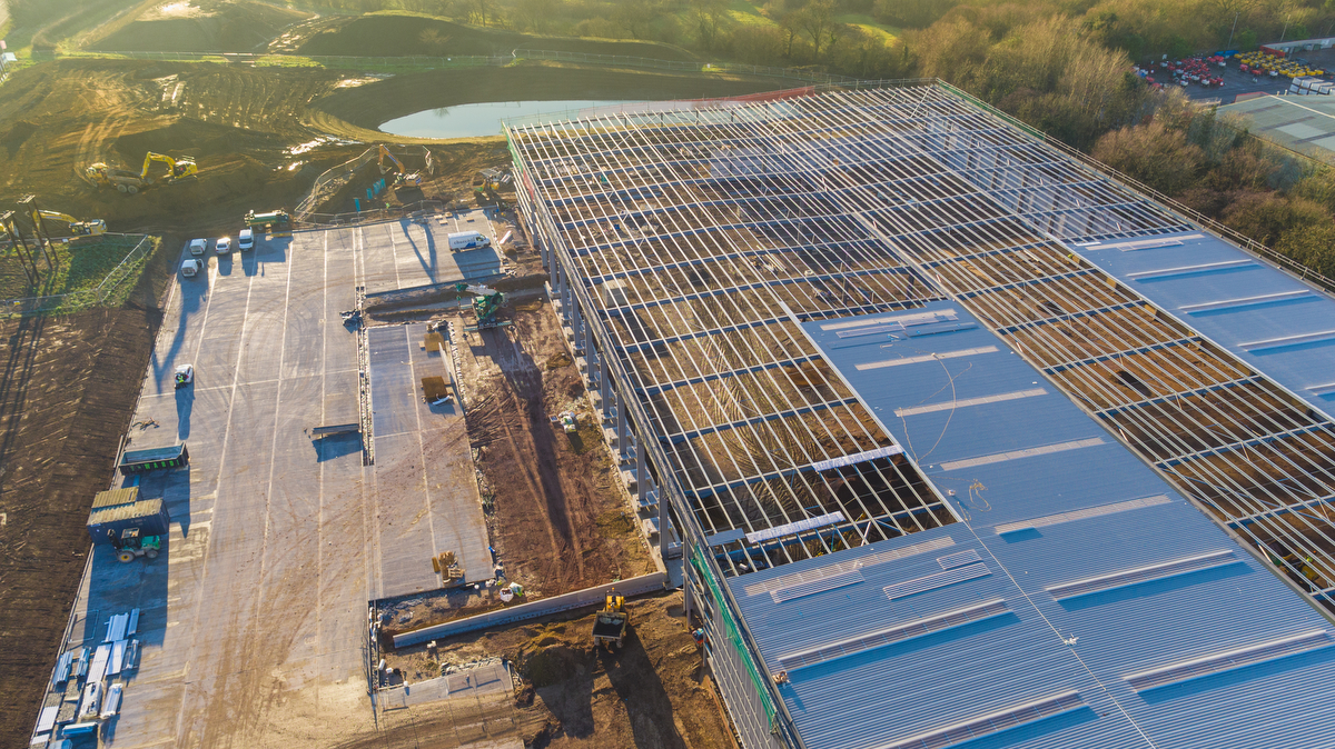
- Comprehensive Visual Data: Drones equipped with high-resolution cameras and advanced imaging capabilities provide RICS surveyors with detailed and comprehensive visual data of properties, including hard-to-reach areas such as roofs, chimneys, and building facades. This detailed imagery allows surveyors to conduct thorough assessments and identify potential issues with precision.
- Efficiency and Time-Saving: Drones streamline the surveying process, enabling RICS surveyors to cover large areas in a significantly shorter time compared to traditional manual inspections. The swift data collection and automated surveying capabilities of drones save valuable time and resources, allowing surveyors to increase their overall productivity and handle more assessments efficiently.
- Enhanced Safety Measures: By minimising the need for surveyors to physically access hazardous or inaccessible areas, drones contribute to improved safety during property inspections. Surveyors can mitigate risks associated with working at heights or in unsafe environments, ensuring a secure and risk-free approach to conducting surveys, particularly for complex structures such as roofs and building exteriors.
- Detailed Analysis and Reporting: The data collected by drones facilitates detailed analysis and reporting, enabling RICS surveyors to generate comprehensive and accurate survey reports for their clients. The precise visual data obtained from drones helps surveyors to identify specific property issues, assess structural integrity, and provide actionable recommendations for necessary repairs, maintenance, or renovations.
- Cost-Effectiveness: Drones offer a cost-effective alternative to traditional surveying methods, reducing the need for expensive equipment, scaffolding, or manual labour. By optimising resources and minimising operational costs, drones enable RICS surveyors to deliver high-quality surveying services to their clients at competitive pricing, enhancing overall cost-effectiveness for both surveyors and property owners.
By leveraging the advanced capabilities of drone technology, RICS surveyors can elevate the standard of their property inspections, providing clients with comprehensive and reliable assessments that contribute to informed decision-making and effective property management.
At inspectionphotos.co.uk we focus on honesty, integrity and reliability. Delivering when needed most for our clients across various industries. To start the process and see how we’re different use the get started form below.