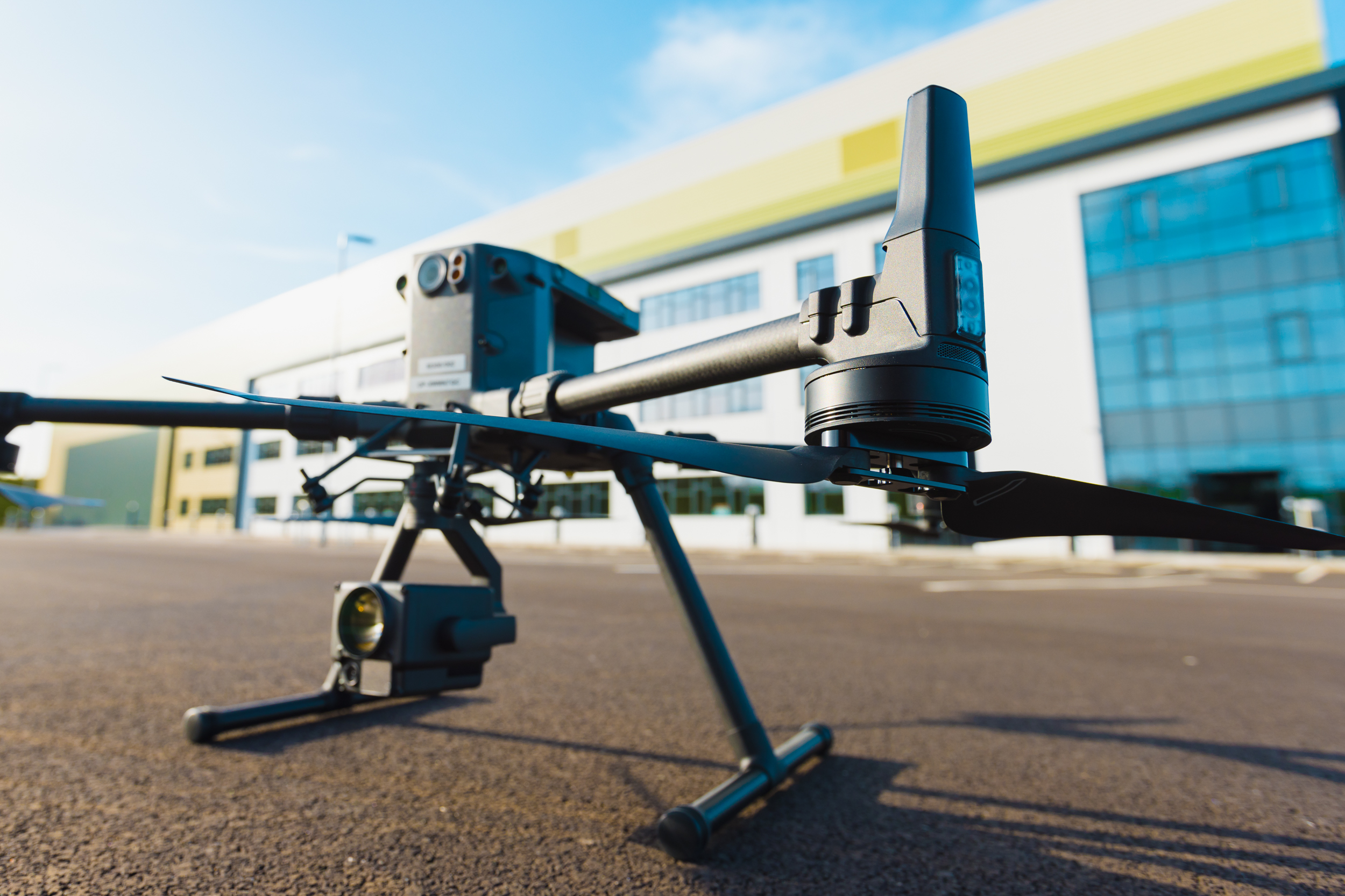
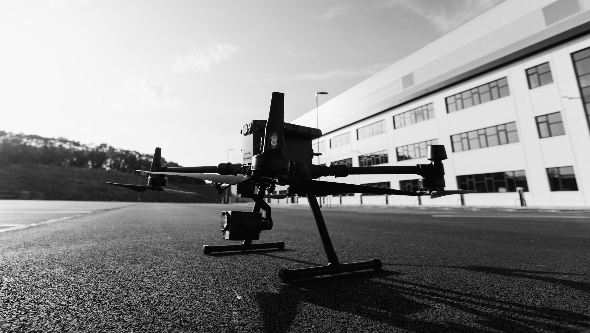
When it comes to conducting precise and comprehensive surveys for the Royal Institution of Chartered Surveyors (RICS), the zoom capabilities of our inspection drones play a pivotal role in capturing intricate details and delivering high-resolution imagery. As a CAA-regulated entity with over 11 years of experience in the industry, we have continually leveraged advanced drone technology to provide RICS surveyors with unparalleled visual data for their property evaluations.
Our drones are equipped with cutting-edge zoom capabilities that enable us to capture images with exceptional clarity and detail, even from significant heights or distances. With the ability to zoom in on specific areas of interest, we ensure that no critical aspect of a property goes unnoticed during the survey process. Whether it’s inspecting intricate architectural elements, identifying potential structural concerns, or capturing precise measurements, our drones’ zoom capabilities empower us to provide RICS surveyors with comprehensive visual data for their evaluations.
Furthermore, as a CAA-regulated entity, we adhere to the highest standards of safety and professionalism in all our aerial operations. Our longstanding establishment of over 11 years underscores our commitment to delivering reliable and efficient drone services for RICS surveys across the UK. By complying with the stringent regulations set by the Civil Aviation Authority, we prioritise the safety of our operations while ensuring that RICS surveyors receive accurate and actionable data to facilitate informed decision-making in their property assessments.
Our comprehensive image delivery services cater specifically to the requirements of RICS surveyors, providing them with detailed and high-resolution visuals that are essential for conducting thorough property evaluations. By utilizing our advanced zoom capabilities, we capture every intricate detail of a property, including its structural integrity, architectural nuances, and potential areas of concern, enabling RICS surveyors to make precise and informed recommendations for their clients.
In summary, our inspection drones, with their advanced zoom capabilities, have been an integral component of our service offerings for RICS surveyors over the past 11 years. By delivering high-resolution images and comprehensive video data, we ensure that RICS surveyors across the UK have access to the necessary tools for conducting thorough and meticulous property evaluations, thereby facilitating confident and informed decision-making for their clients.
Get in touch using the form below for a free no obligation quote.