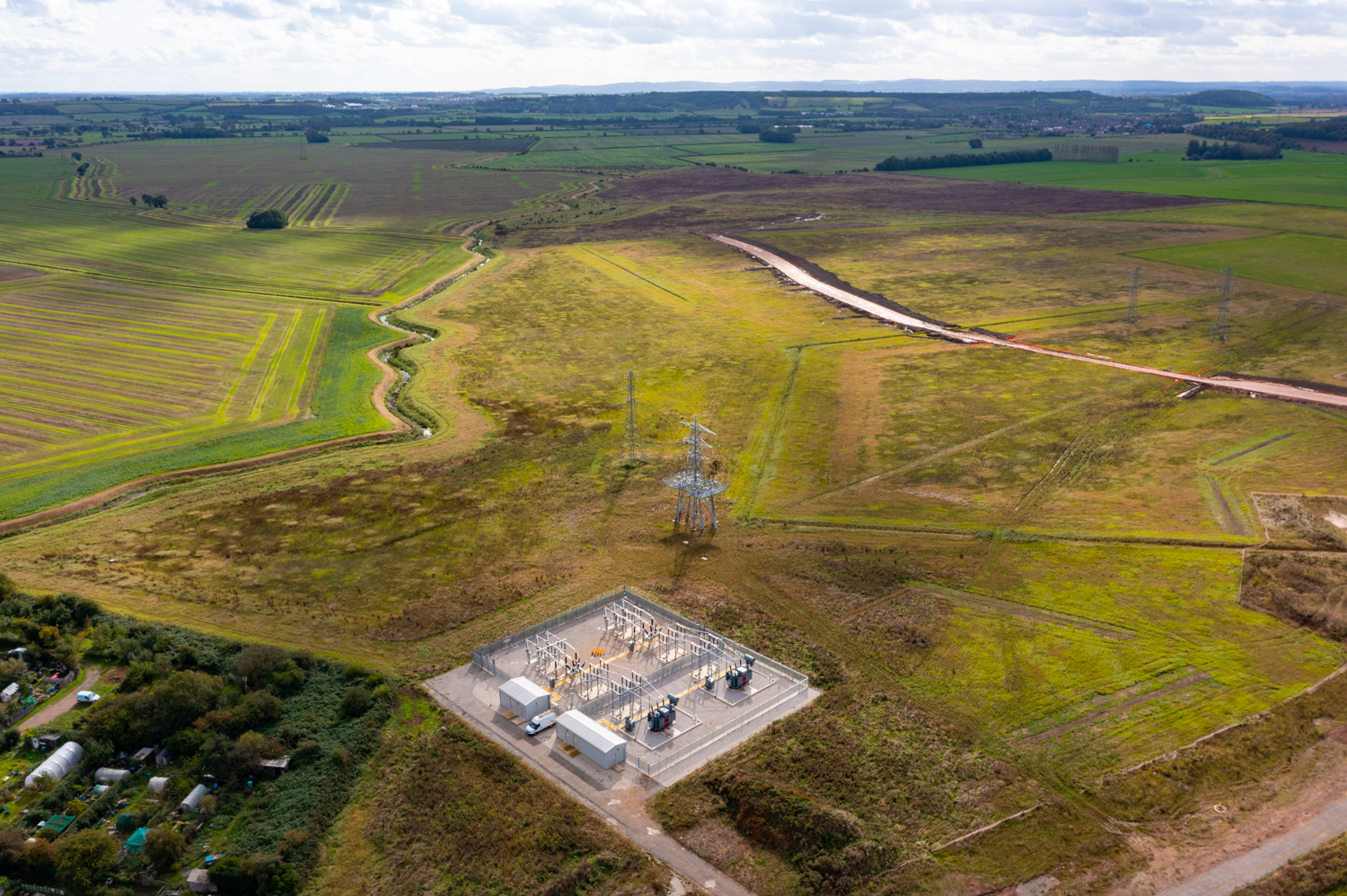
In the dynamic landscape of the West Midlands, the use of drone technology is revolutionising traditional methods of river management. Aerial river surveys conducted through drones are unlocking a new era of precision, efficiency, and accuracy in understanding and maintaining the region’s waterways. This cutting-edge approach is proving instrumental in several key aspects.
One of the primary benefits is the enhanced ability to monitor changes in the river ecosystem. Drones equipped with high-resolution cameras and sensors provide real-time data on water quality, sediment movement, and changes in the riverbed. This information enables authorities and environmental agencies to identify potential pollution sources, assess the impact of human activities on aquatic life, and take timely measures to preserve the delicate balance of the local ecosystem.
Furthermore, drone surveys significantly improve the speed and cost-effectiveness of river inspections. By eliminating the need for manual surveys, which can be time-consuming and labour-intensive, drones expedite the data collection process and enable swift decision-making. This expediency proves crucial during emergencies such as floods or chemical spills, facilitating prompt responses and minimising the risk of environmental damage.
Moreover, the use of drones in river surveys enhances safety for surveyors and personnel. By eliminating the need for physical access to hazardous or hard-to-reach areas, drones reduce the potential risks associated with on-site inspections. This not only ensures the safety of the surveying team but also minimises the ecological disturbances caused by human intervention in sensitive habitats.
Through the integration of advanced GIS (Geographic Information System) software, the data collected by drones can be effectively analysed and integrated into comprehensive river management strategies. These insights aid in the formulation of long-term plans for sustainable development, flood prevention, and biodiversity conservation, ensuring the longevity and health of the region’s waterways.
In the West Midlands, the adoption of drone aerial river surveys represents a transformative leap in the management of natural resources. By harnessing the power of modern technology, the region is fortifying its environmental stewardship and paving the way for a more sustainable future.
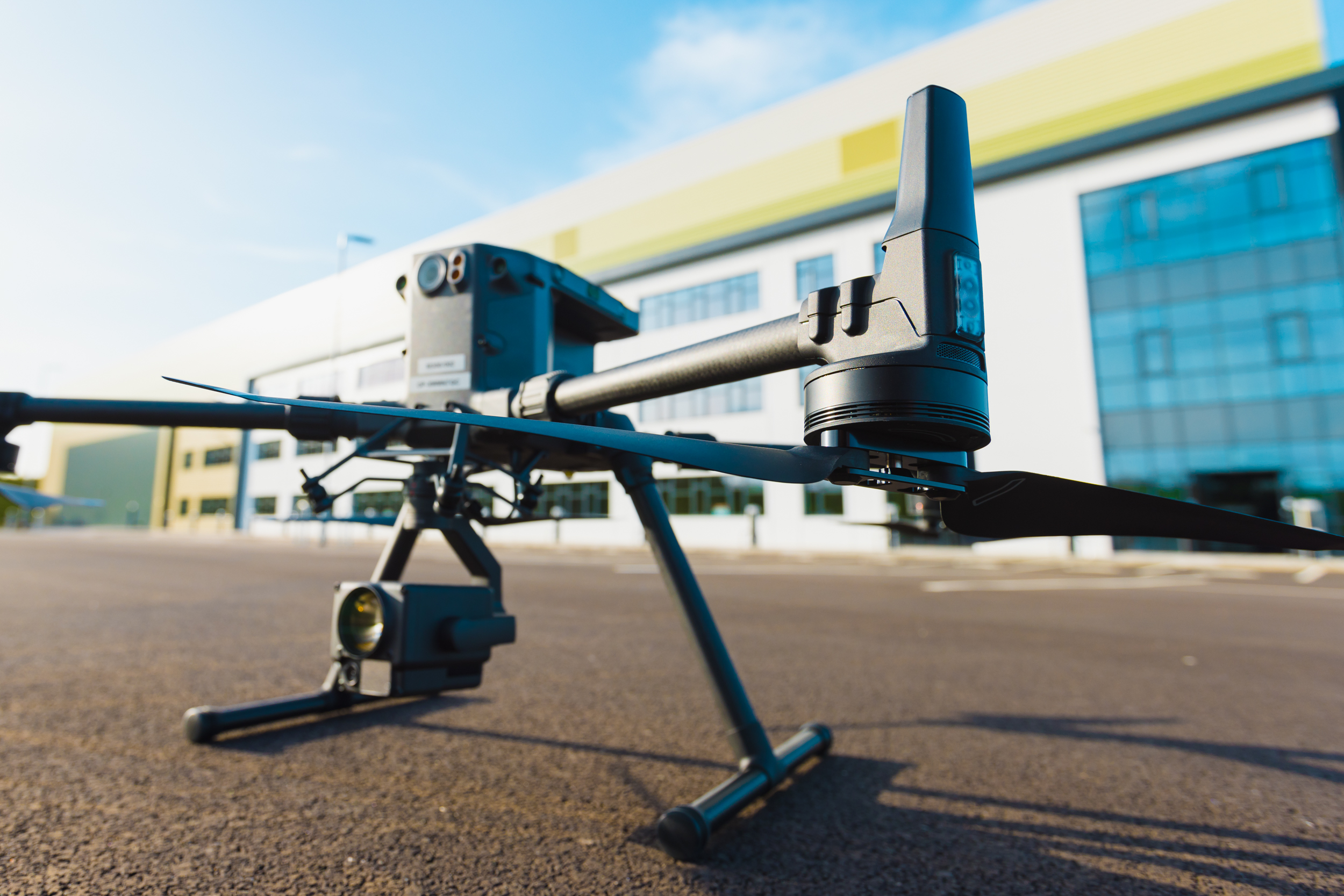
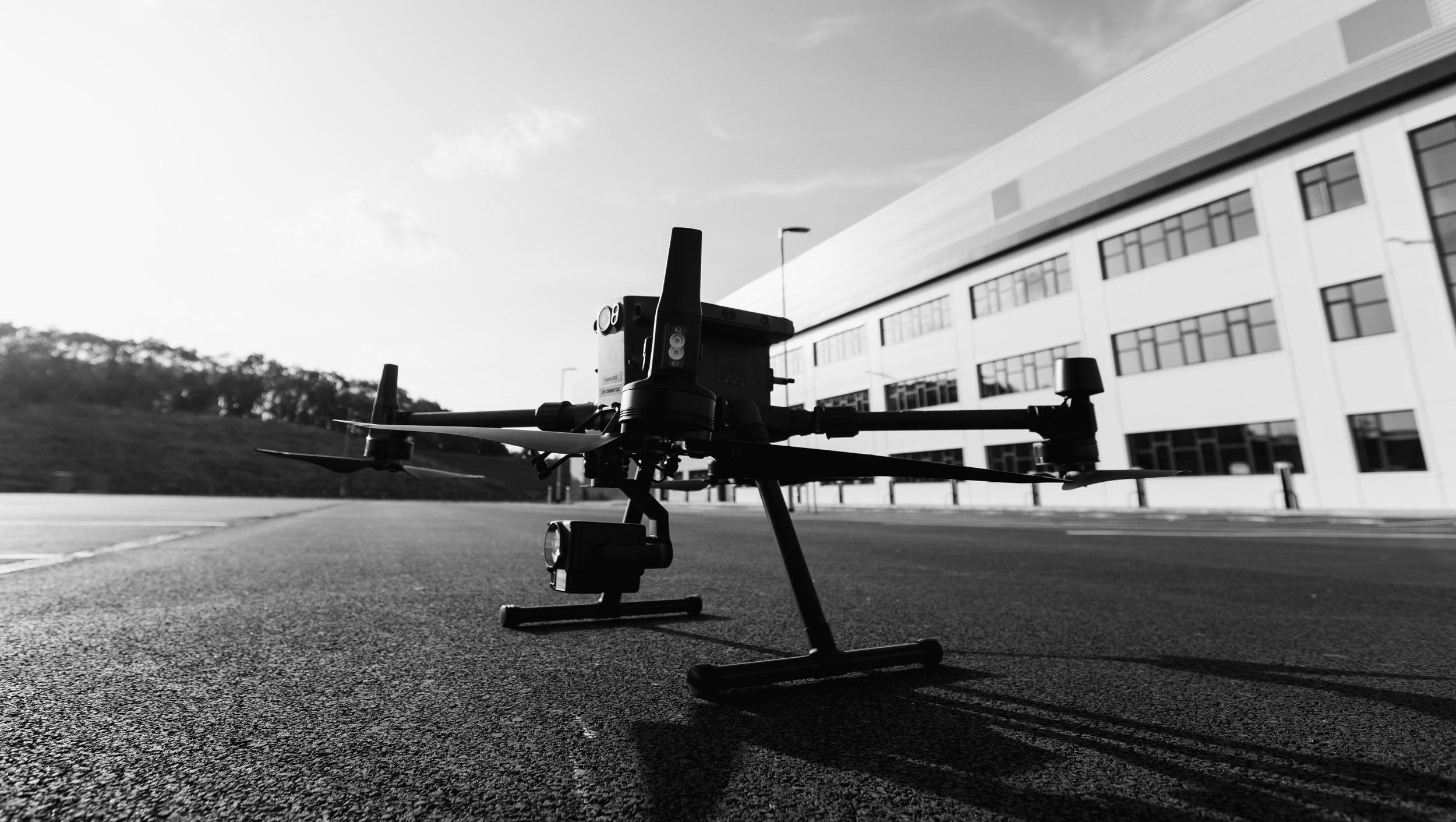
Utilising our Matrice 300 drone proves instrumental in maintaining a safe distance for wildlife during various monitoring and surveying operations. Equipped with advanced obstacle sensing technology and precise manoeuvrability, our Matrice 300 allows for seamless aerial inspections without disturbing the natural habitats of animals.
Its exceptional flight stability and customisable control settings enable us to conduct surveys from a safe distance, minimising any potential disruption to wildlife behaviour. The drone’s quiet propulsion system further ensures minimal noise pollution, reducing the risk of startling or agitating sensitive species. By employing the Matrice 300, conservationists and researchers can gather crucial data and conduct environmental assessments without encroaching on the natural habitats of wildlife, fostering a more harmonious coexistence between scientific research and wildlife preservation efforts.
Using our dedicated UAS (Unmanned Aerial System) production vehicle we can perform these inspections anywhere in the United Kingdom, based in Birmingham we cover UK and Ireland for all our clients inspection needs.